|
|
|
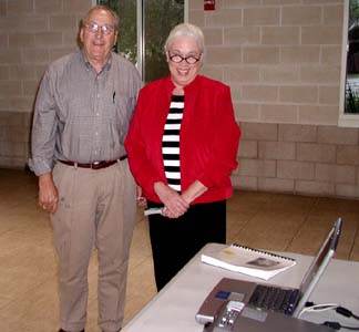
Alecya
Gallaway with Kemah Historical Society board member and
President Ed Linck |
|
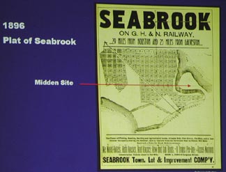
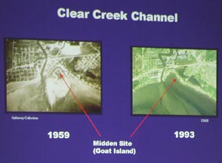
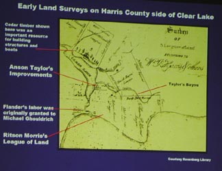
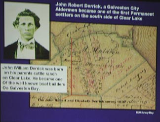
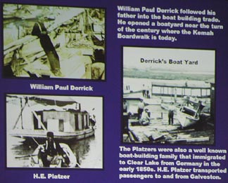
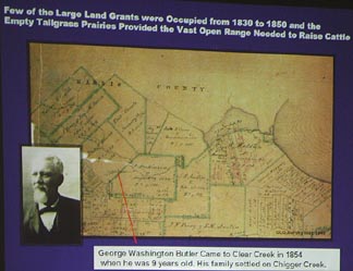
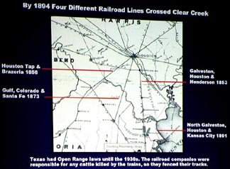
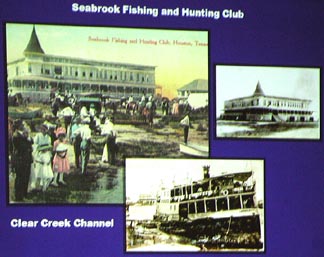
A
pictorial history of Clear Lake and Clear Creek presented by
Alecya Galaway, 4-24-'05. This is an abbreviated report on that
presentation concentrating on the towns on the coast of
Galveston Bay surrounding Clear Creek. The program was
provided by the Environmental Institute of Houston, University
of Houston Clear Lake. The photos were taken with a 3 megapixel
Olympus
camera of a slide projector so there is some distortion and
the pictures are sometimes a bit fuzzy. The subject
matter is worth it, though. Page 1 of 3 pages
Click on
any picture to enlarge. |